Channel Islands
National Marine Sanctuary
Channel Islands National Marine Sanctuary, located off the coast of Santa Barbara and Ventura counties in California, encompasses 1,470 square miles of water offshore of San Miguel, Santa Rosa, Santa Cruz, Anacapa, and Santa Barbara islands. It is a special place for endangered species, sensitive habitats, historic shipwrecks and cultural resources. Many valuable commercial and recreational activities, such as fishing, shipping, and tourism occur here. For the Indigenous Chumash people, waters of the sanctuary and the northern Channel Islands hold a value that is beyond measure. The sanctuary provides protection through research, education, conservation, and stewardship.
Learn more about Channel Islands National Marine Sanctuary at channelislands.noaa.gov.

Quick Facts
Location: In California, about 23 miles offshore from Santa Barbara and 13 miles from Ventura
Protected Area: 1,470 square miles
Designation: September 1980
Habitats:
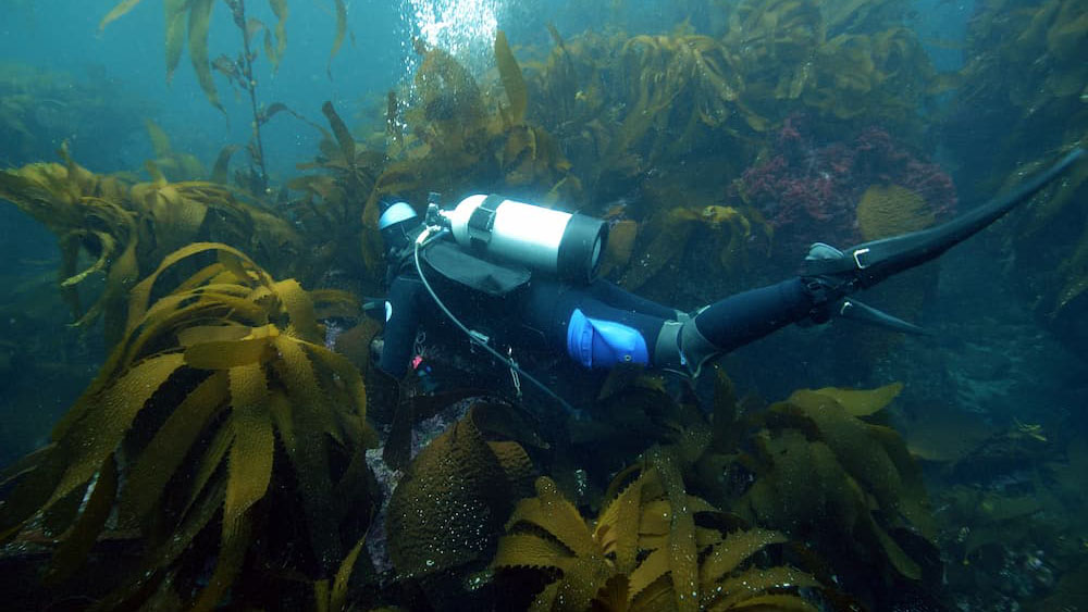
- Kelp forests
- Open ocean
- Rocky reefs
- Deep sea corals & sponge communities
- Seagrass meadows
- Shallow sand bottoms
Key Species:
- Ashy storm-petrel
- Blue whale
- California brown pelican
- California spiny lobster
- Giant sea bass
- Humpback whale
- Northern elephant seal
- Pink-footed shearwater
- Red abalone
- Scripps's murrelet
Sanctuary Highlight

Channel Islands Divers Support Research on Acoustics, Giant Kelp, and Bioplastics
NOAA divers spent the day at San Miguel Island in Channel Islands National Marine Sanctuary finishing up the West Coast observations by swapping out the acoustic receivers that are located at 13 sites around the Channel Islands.
Multimedia
Our Planet is an Ocean Planet: Earth Is Blue.
No matter where you are, the ocean and Great Lakes are in your hands. We hope these images and videos from Channel Islands National Marine Sanctuary inspire you to help care for our ocean and to spread the word that Earth isn't green—it's blue.


National Marine Sanctuary System

Safeguarding America's Premier Marine Places
From Washington state to the Gulf of America and from the Great Lakes to the Pacific Islands, the National Marine Sanctuary System protects 18 underwater parks spanning over 629,000 square miles of ocean and Great Lakes waters. By investing in innovative solutions, we strengthen these iconic places to address 21st-century challenges while supporting America's commerce and tourism. These unique locations inspire people to visit, value, and steward our nation’s iconic ocean and Great Lakes waters.